Finding a new place can be challenging, this page has been designed to make it as easy as possible for you to find the most convenient way of getting to us

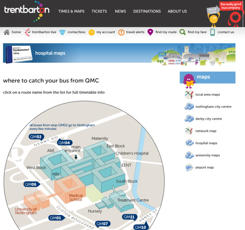
Maps of Queens Medical Centre
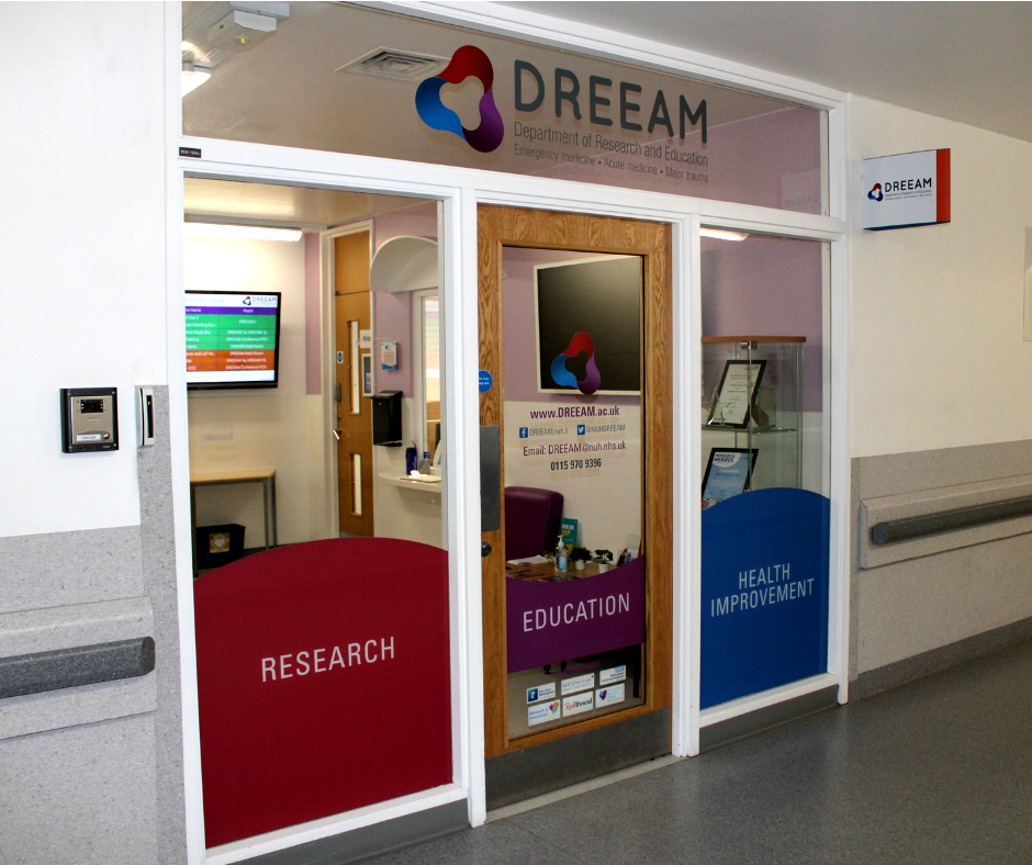
The below maps of Queens Medical Centre (QMC) should help you find us and plan your visit. There is a general overview map and then a map of A-floor. DREEAM is located on A-Floor, point 27.
Parking at QMC
If you are driving to the hospital and wish to park on-site, there are a few options. Nottingham University Hospitals has two visitor car parks, Car Park 1 and Car Park 3. Both have fixed tariffed prices, depending on length of stay. If you use the what3words app, Car Park 1 can be found at nail.foal.advice and Car Park 3 can be found at drive.wedge.erase. If you would like to find out more about these car parks (ie. tariffs prices) then please click here this will take you to the Nottingham University Hospitals travel webpage.
There is also the Leen Gate Car Park. If you use the what3words app, the entrance to the Leen Gate Car Park can be found at page.apple.insist. Alternatively, you can find more information on here.
Park & Ride
There is a car park called Queens Drive Park & Ride, just off Clifton Boulevard. Here you can stay for £4 a day and hop on the Medilink bus that arrives every 10 minutes and this bus will take you directly to Queens Medical Centre. More about traveling by car and the Medilink Park & Ride can be found here.
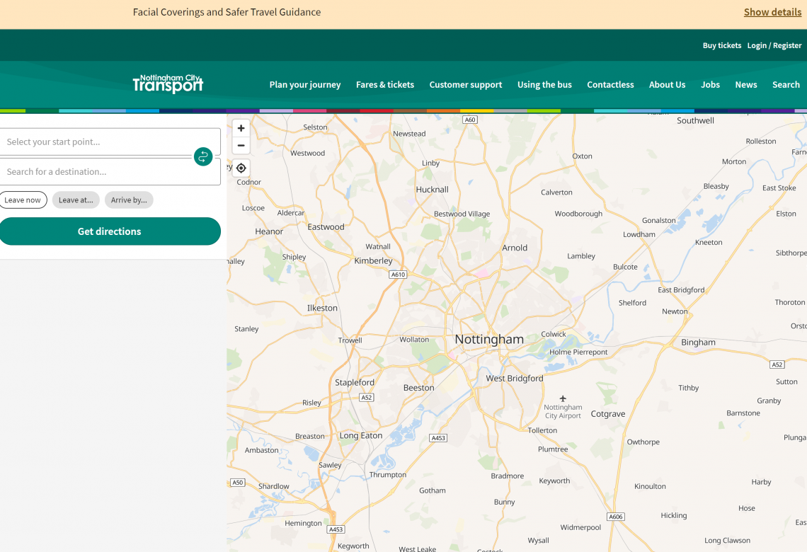
Nottingham City Transport (NCT)
Nottingham Express Transit (NET) Tram
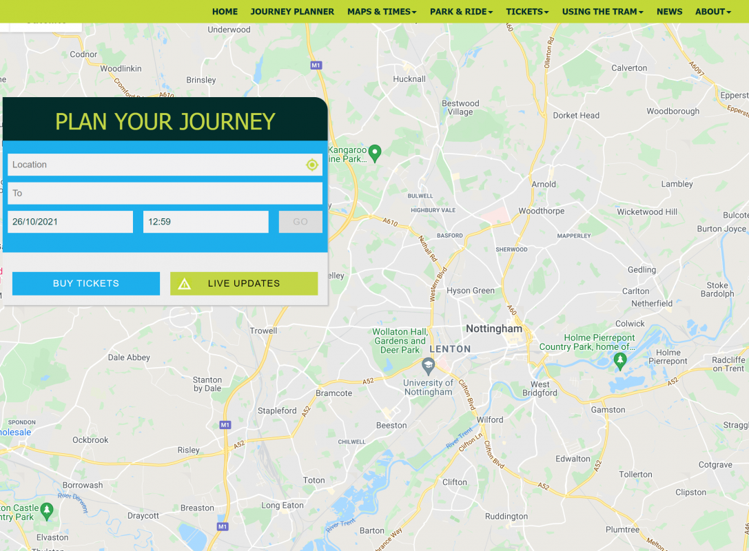
The below is a screenshot from the Nottingham Express Transit (NET) Tram network in Nottingham. Clicking this will navigate you to their website, where you can look at the tram lines and see which would be best suited you. There is a dedicated tram stop at the QMC which is clearly signposted on the trams and their website. If you're arriving in Nottingham via train you will want to get on the tram at Nottingham station, alternatively if you are approaching via the M1 you can park at Toton Lane tram stop and travel to QMC from there.

If this page has not been helpful, please do not hesitate to contact us and we will do everything we can to help you plan your journey.

